KF6HI
Contact me through: kf6hi.net


Country Name : Banaba I. (Ocean I.) (click for all QSOs with this country)

Prefix: T33

Number of QSOs found on 21 MHz with Banaba I. (Ocean I.) : 3

CallDateTimeModeQSL OUTQSL IN LOTWEQSL
T33T1990-11-1101:30CWY
V
NN
T33A2013-11-0923:47SSBNN
Y
N
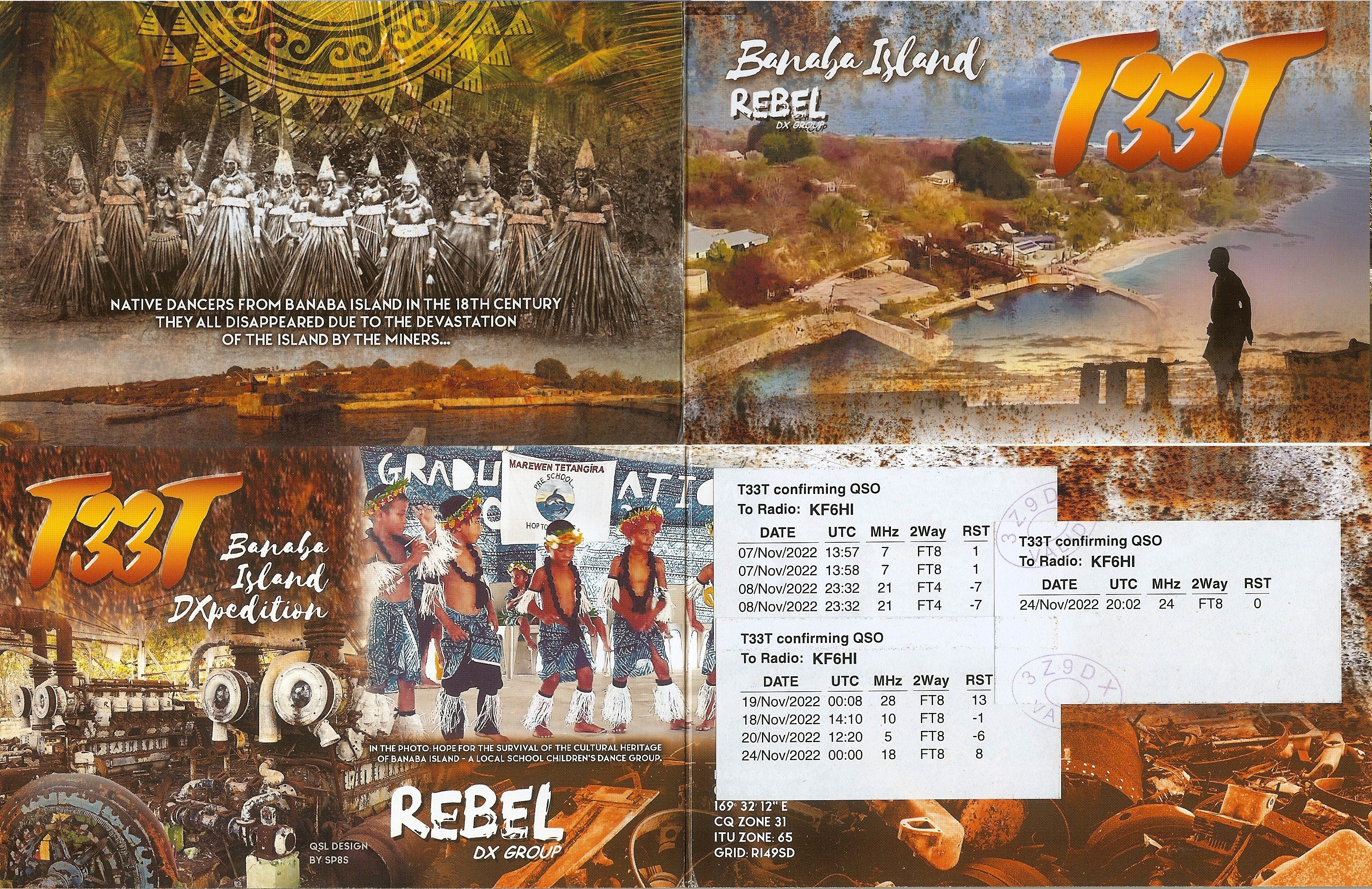
T33T2022-11-0823:32FT4Y
Y
Y
N

KF6HI QSO with T33T (click for QRZ info), information for above highlighted contact:

UTC Date: 1990-Nov-11
UTC Time: 01:30
Frequency: 21.000 MHz
Report Sent: 599
Report Received: 599
Mode: CW
Sunspot Number (>0): 167
Solar Flux (>67): 195
A-index (0-400): 6
3-hour K-index (0-9): 1.89
KF6HI
Sunrise 14:24
Sunset 00:53

T33T
Sunrise 18:21
Sunset 06:31
Grid:
ADIF code: 490
WAZ Zone: 31
Continent: OC
Latitude: -1.00 °
Longitude: -169.50 °
Bearing 259 °
Distance(km): 8412
Distance(miles): 5223
Operator:
Comments:
QSL info: OH3GZ
Record Number: 1087

LP=Long Path if shown
Map Legend: =Home, =DX Station, =Sun Position
Red line = Communications path


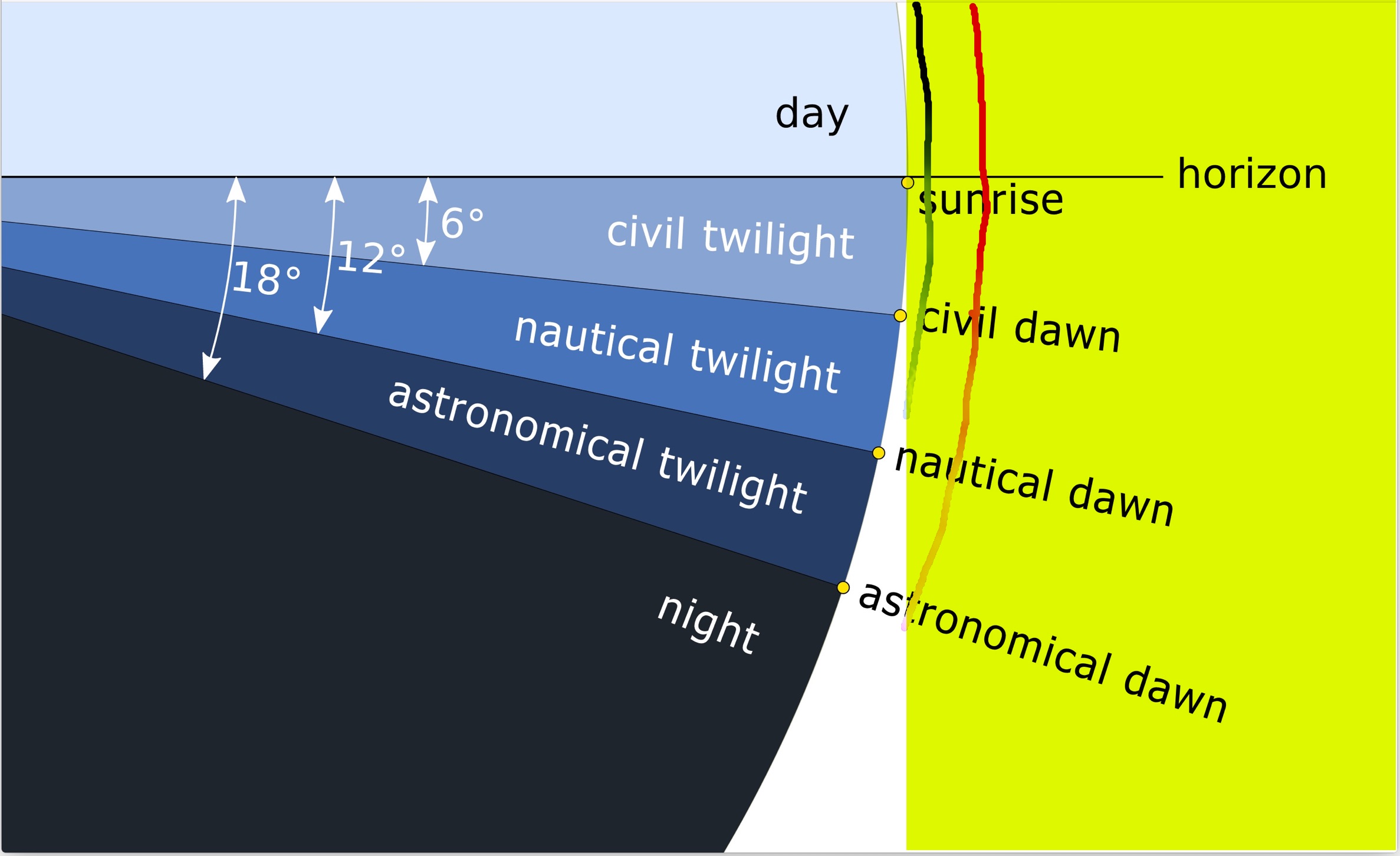
The day/night terminator has 4 shade levels going from light to dark
  • Twilight or dusk is where the sun is 6° below the horizon. The D layer (green line at right) is illumiated is this area and to 9° below the horizon.
  • Nautical twilight the sun is 12° below the horizon; the horizon is still visible,
  • Astronomical twilight sun is 18° below the horizon The F layer (red line at right) is illumiated is this area and to 20° below the horizon.
  • Night
The Magnetic Equator is shown as a black line around the 0 degree equator line
The Magnetic Equator is important for Transequatorial Propogation and the magnetic field strengths are believed to be important for Sporadic-E Propagation.

Verifications:


PAPER