|
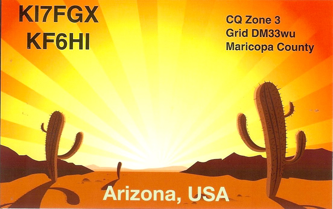
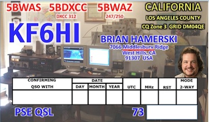
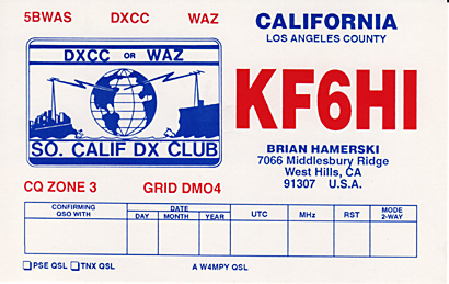
KF6HI
|
KF6HI Consulting
|
|
Contact me through: kf6hi@arrl.net
|
| |
| |
Welcome. Thank you for visiting my pages. The purpose of this site is two fold.
1) This site is essentially my log book
2) Provide useful information to others
3) Introduce KF6HI Consulting. Ham Radio consulting and Software Development.
My log can be used as a research tool as each contact can be explored showing location and solar conditions at the time of the contact.
Each contract has a map showing sun position and day/night boundaries and links to the stations web site if available. QSL cards, if received, are also shown.
If you scroll through the bio below and look at the Contests link, you can see the evolution of my station through time, and what can be done with a dis-advantaged to modest station setup.
Please stop back, as more content will be added as time goes on.
--Brian
|
Retired Aerospace Electrical Engineer
|
Daisy Mountain Fire & Medical CERT volunteer
|
Member Maricopa County ARES; Assistant Coordinator
|
Member Arizona Outlaws Contest Club
|
Member Central Arizona DX Association
|
Member Arizona Mesh Organization
|
ARRL Technical Specialist
|
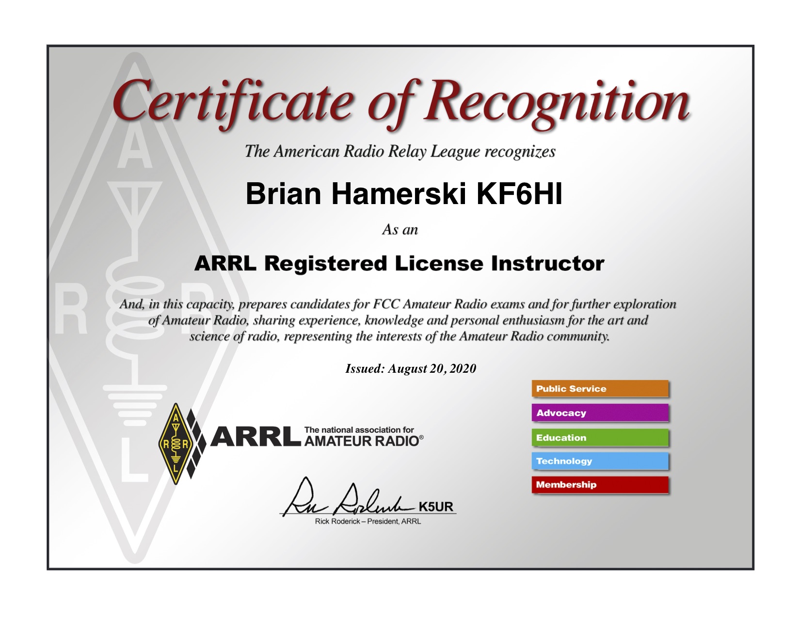
ARRL Certified Instructor
|
Associate Member Arizona Red Cross Communications
|
Certified Laurel VECC Examiner (Extra class)
|
10-X 13948 SMIRK 2672 SWOT 3688
|
|
|
Daisy Mountain Area Emergency Communications A tutorial on Emergency Communications
|
EXTERNAL LINKS
|
Packet Cluster Spots
|
VOACAP HF Prediction Tool
|
Announced DX Operations
|
WSPR NET small signal beacons
|
Real-Time QSO Map
6
10
15
20
30
40
80
160
|
Space Weather SolarHam
|
MUF (F2 3000km) Map FoF2 Map
|
Real-Time MUF Map F-Layer
|
Real-time Broadcast Shortwave Schedule
|
Real-Time MUF Map E-Layer
|
Real-time PSK Reporter MAPs
|
Solar Indices
|
NOAA Radars To Find Tropo
|
Web SDR
|
Reverse Beacon CW, RTTY auto spotting
|
HamSpots Digital Mode Spotting
|
|
INTERNAL LINKS
|
|
|
|
QSLs and Logs - over 3,200 QSL images online; QSO Maps; QSO Historical SFI/K-index
|
|
|
DXCC Status Table
|
My CQ WAZ Map kml file, save then open in Google Earth
|
WAZ Status Table
|
SNR
Understanding Signal to Noise Ratio
|
WPX Status Table
|
KF6HI Contest Scores
|
6 Meters from California (DM04) VUCC# 741
|
6 meters from Arizona (DM33) VUCC# 2430
|
SOTA QSO Map
|
2 meters from Arizona (DM33)
|
Satellite QSLs
|
Special Event QSLs
|
Historical QSLs
|
Armed Forces Day QSLs
|
| |
|
Radio Achievements - aka, my Award wall on-line with some operating notes on each award
|
| |
| |
| |
| 2015 to Present |
|
Latitude = 33.8394 ° N, Longitude = 112.0890 ° W
Elevation: 1860 feet, Grid: DM33wu91ik
HFTA Analaysis - coming soon
Stations Photos
|
I was blessed with the opportunity to retire early. Having lived in California for 33+ years, with antenna challenges, it was time for a move.
In October 2015 we packed everything up and moved to North Phoenix, in a rural community known as Desert Hills not to be confused with the other Desert Hills on the west side of the state.
I initially wanted a huge tower with commercial 5 Band 6 element yagi, etc. Wow, the costs! Could not do that, but I have 1.5 acres now to work with, so I am using some of my old antennas and some new ones.
Not sky high, and not super tech, but they work so much better out here away from the city noise (although I can hear it to the south on 6 meters) and away from obstructions.
The antenna lineup, (constantly changing, HI!)
- The DX VOYAGER GAP has been rebuilt (a few times!) and is used primarily for 40M and 80M where it works the best.
It is also a backup for 160M. 20M tunes but the antenna has always been a dummy load on that band.
- 160M top loaded 60 foot vertical, 21 radials. Hairpin match. So far this antenna seems to be a winner!
- 60M Inv-V dipole at 30 foot apex
- 30M Inv-V dipole at 30 foot apex
- 12M / 17M Spiderbeam, 3 elements each, up only at 20 feet. Looking to refurbish this later
- Spiderbeam consisting of 4 el 10M, 3 el 15M, and 3 el 20M up @ 40ft. Trapless means better efficiency, plus it is lightweight!
- 6M homebrew yagi, 5 elements at 25 feet
- 2M/70cm Comet GP-6 vertical up at 25 feet. 6.5dBi 5/8 wave x 2, 9.0 dBi 5/8 wave x 5
- 2M yagi, 6 elements at 20 feet
- 40M NVIR, 2 elements at 10ft, leftover from my stint in Army MARS
- 80M NVIR, 2 elements at 15ft, leftover from my stint in Army MARS
- Small beverage installed on 160 looking East/West, but super noisy, looking to replace with Waller Flag
The 40 year old TH3 has been retired! (still works but is well worn)
Late 2016 my XYL - Carmen got her Technician License, KI7FGX. Mostly for emergency preparedness, so you won't hear her on the air.
|
| |
| |
| |
| 1993 to 2015 |
|
Latitude = 34.1993 ° N, Longitude = 118.64832 ° W
Elevation: 922 feet, Grid: DM04qe27
Takeoff angle as viewed from the tribander
Station Information
|
|
Moving into a house with a yard allowed me to put up my the TH3 tri-bander I had been carrying around with me since my Ham days back in Minnesota. That took care of 10,15,20. For the low bands up went a GAP Voyager. For the WARC bands up went an R7000. For 6 meters a homemade 5 element. Also up are various 2 meters antennas. You can see the entire line-up here
|
| |
| |
| |
| 1982 to 1993 |
|
Latitude = 33.82913 ° N, Longitude = 118.33132 ° W
Elevation: 95 feet, Grid: DM03ut
|
|
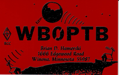
Graduating with an Electrical Engineering degree I moved to California in August 1982. I changed my callsign from WB0PTB to KF6HI in November of 1982. I got hit hard by the DX bug thanks to co-workers N6RV and W6UL and upgraded to Extra class in 1990 to gain access to the DX at the low end of the Amateur Radio frequency bands. This was back when we had the 20wpm morse code requirement. I still prefer working DX with CW. You can hear more stations, and in pileups it is much easier on the ears. CW has more than a 11 dB receive SNR advantage and is essential to for a serious DXer. My initial california locations were antenna challenged. No operation from my apartments. It wasn't until 1989 when I moved into a townhouse and put up dipole antennas in the attic that I became active again. I had dipoles for all bands 80 through 10 meters stapled into the attic. I used inductive loading in the middle of each dipole leg to get acceptable VSWRs. Looking back at the log it is pretty amazing what I was able to work. Finally in late 1993 I moved to a house with a yard - and finally put up some serious antennas.
|
| |
| |
| |
| DX-peditions 1991 and 1993 |
|
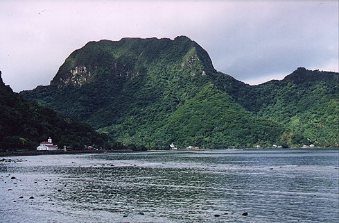
Latitude = 14.1235 ° S, Longitude = 169.8113 ° W
Elevation: 10 feet, Grid: AH55cv
Looking down at the QTH, Pago Pago
Not a good takeoff angle to the North
QSLs and Logs
1993 Photos
|
Working pileups on rare DX is great, but wouldn't it be even better to
be
the DX?? To satisfy this urge, W6UL and myself looked for an easy, but yet worthwile place to go. The answer was KH8. American Samoa is located 2300 miles SSW of Honolulu, Hawaii. Our operation was from the Rainmaker Hotel on the island of Tutuila, near the village of Pago Pago. In approx 2006 the Rainmaker was bought from the government and came under private ownership and is now Sadie's by the Sea . References to the Rainmaker property being demolished are incorrect. It appears from photos that the fale units that we operated from have been razed and the area is now a pool !
Operators in 1991 were KF6HI-Brian, and Ron-KA6NAL (now W6UL). The 1991 operation was the first from KH8 using Amateur Satellite. AO13 was the satellite used. Unfortunately the Rainmaker mountain to the North limited our ability to make more than a handfull of Satellite QSOs. In 1993 Ron and I returned with Bill-WK6V (now N6RV).
|
| |
| |
| |
|
The early years 1975 to 1982
|
|
Latitude = 44.0477 ° N, Longitude = 91.6837 ° W
Topographic location
WB0PTB Google Earth Looking SOUTH
Station Photos
|
|
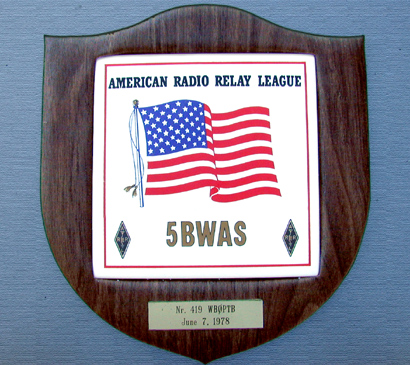
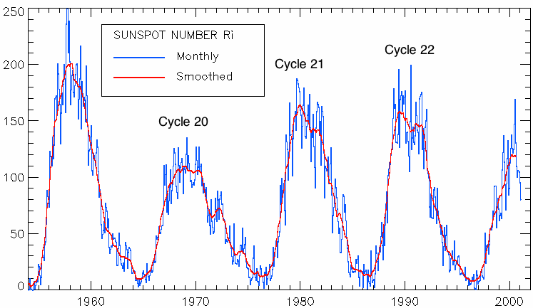
I was First licensed mid 1975 at age 15 as WN0PTB in Winona, Minnesota. Thanks to my Dad and Mark-Ex:WA0URW for inspiration to get licensed and Les-K0BAD for teaching me the 5 wpm code and theory. I learned at this time in my life that setting high goals and staying focused will get you surprisingly close to, or even fully achieving, them. Knowing that I would be changing my QTH (location) in 1978 to the University of Minnesota in Minneapolis after high school, I set the goal of obtaining 5BWAS before leaving home. To achieve this I needed to upgrade my license class. From Novice to General (WB0PTB mid 1976) and then to Advanced. With the sunspot cycle at a minimum, between cycles 20 and 21, 10 meters had extra challenges as did my 20 foot high dipole on 80m. To aid in 10 meters I joined the 10-10 club and even started my own Chapter, the Hiawatha Valley 10-10 Chapter. Through the use of Sporadic-E and Backscatter on 10M and 15M, and occasional checkins into the 80M phone WAS NET, I was able to achieve 5BWAS.
Also note that my QTH was 1000 feet from a 300ft + bluff directly to the South.
|
| |
| |
| |
|
|
